

Slumgullion Earthflow
Slumgullion Earthflow
National Natural Landmark or “Slumgullion Slide”
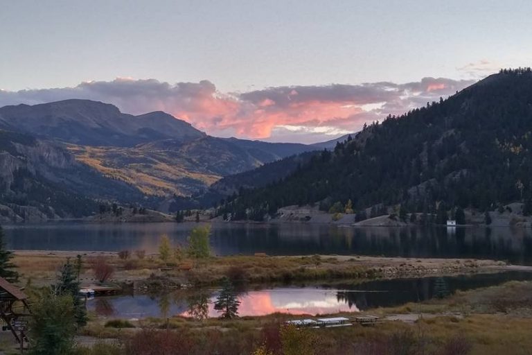
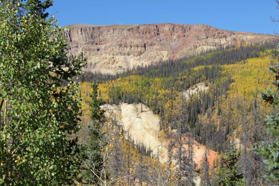
The Slumgullion Earthflow National Natural Landmark is a rare example of an earthflow, called mass wasting. About 700 years ago, an area of Mesa Seco, composed of partially decomposed volcanic rock, slid down the mountain and blocked the Lake Fork of the Gunnison River. This natural dam formed what is now known as Lake San Cristobal. The earthflow is about 4 miles long and covers over 1000 acres.
A second earthflow began about 300 years ago and is still active today. The United States Geologic Survey (USGS) tracks the movement of the slide, which in some places moves as much as 20 feet per year. It covers some of the original slide and can be detected by observing the trees growing on it that are tipped at odd angles.
A good view of the Slumgullion Slide, as is it locally known, can be seen from highway 149 south of Lake City as you ascend Slumgullion Pass. There is a pull-off at mile marker 67. Also, the Windy Point Overlook offers great views of the Slide and of the San Juan Mountains that surround Lake City.
Where Does the Name “Slumgullion” Come From?
The Slumgullion Slide was likely named by early settlers of Lake City who noted that the yellow color of the soils resembled Slumgullion Stew. “Slum” as it was also called, was generally a watery stew made from beef, potatoes, carrots, and onions, or whatever leftovers could be found. Also, miners of the 1800s referred to the leftover mud in gold sluices as slumgullion.