


Cebolla Creek / Cathedral Area
Discover the endless possibilities of Lorem Ipsum!
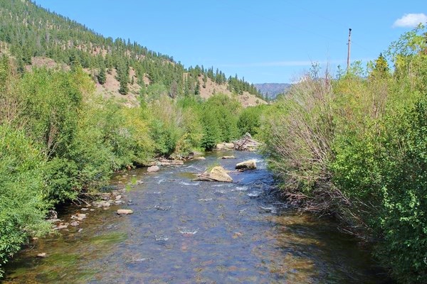
Cebolla Creek / Cathedral Area
Offering access to two National Wilderness Areas and a State Wildlife Area, this uncrowded tour is a wonderful day trip or multi-day camping trip. Starting and ending in Lake City, this loop offers classic Colorado mountain recreation.
Highlights of this road include many hiking and horseback riding trails into the Powderhorn Wilderness and the La Garita Wilderness. Please note that bicycles are not permitted in the Wilderness Areas but are welcome on FS 788. Hikers, backpackers, or bicyclists can arrange for a shuttle from area businesses
Fishing opportunities are everywhere. This road follows Cebolla Creek (pronounced suh-VOY-ah) for many miles. The first seven to eight miles of it allow numerous areas of public access for fishing and include stream and beaver pond waters. Be respectful of private property farther along the road. In addition to Cebolla Creek, there are many tributaries that flow from the Wilderness Areas on both sides of the valley.
About 12 miles down the road, the Mason Family State Wildlife Area offers fishing, camping, picnicking, hunting, and wildlife viewing in an idyllic setting of towering cottonwoods and lush meadows. Entrance into the Wildlife Area requires a Colorado wildlife stamp. Before you go, pick one up at any store that sells fishing and hunting licenses. If you already have a license, the stamp is included.
The rest of the route meanders along the Cebolla and gives panoramic views of historic, and currently used, high altitude ranching lands. Continue along the route until it meets Highway 149, then head south for a return to Lake City.
Camping facilities along this route include six public campgrounds, most with pit toilets, water, and trash service. There are no services other than these campgrounds along this route, so be sure to fill your gas tank and pack a picnic (or more, for longer outings).
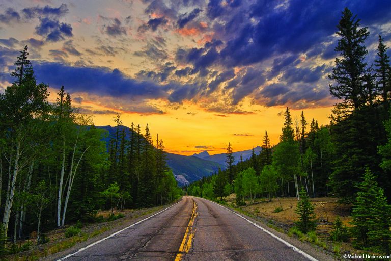
To take the drive, travel south on Highway 149 to just before the top of Slumgullion Pass. Turn left onto FS Road 788. This road is well-maintained gravel, suitable for 2-wheel drive vehicles or mountain bikes.
Noteworthy Area: Deer Lakes
Just north of the summit of Slumgullion Pass is Forest Service Road 788. While its official name may not sound inviting, this road is one of the greatest gateways to recreation opportunities in Hinsdale County.
This area is known for great wildlife watching, especially for spotting moose at the Upper and Lower Mill Ponds. FS Road 788 leads to 5 campgrounds, 1-day use area, access to Cannibal Plateau, numerous hiking trails, past the historic farms of Cathedral, through the Mason Family State Wildlife Area, and eventually ends in Powderhorn at Highway 149.
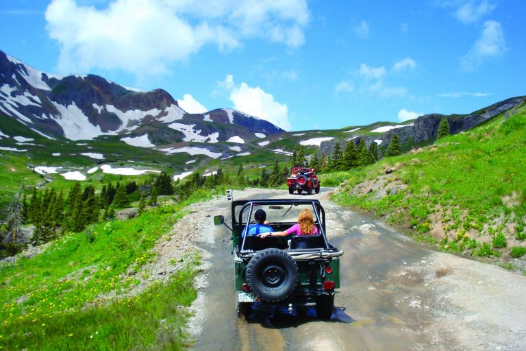
This road is two wheel drive and great for those looking to take the other scenic route to Gunnison. It also provides access to Los Pinos Pass, a magnificent drive, especially in the fall. High clearance is recommended for Los Pinos Pass.