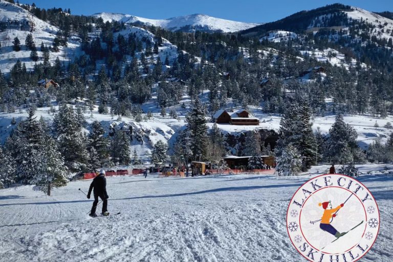


Camping in Lake City
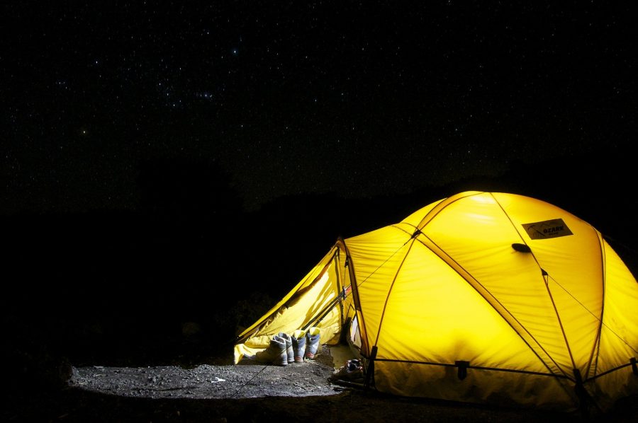
Camping in Lake City
Red Bridge Campground
210 W. Spencer Street, Gunnison, CO. 81230 – 970-642-4940
https://www.blm.gov/co/st/en/fo/gfo/recreation_information/camps.html
Open Seasonally: June-September
Number of Units: 7 – Rates: $5
Located on the Lake Fork of the Gunnison River. Elevation: 7800′ Managed by the BLM
Gate View Campground
Blue Mesa Cut-off Road, Blue Mesa, CO. 81230
https://www.nps.gov/cure/planyourvisit/camping.htm
Open Seasonally: June-October
Number of Units: 5 – Rates: Free
Located in a deep, narrow canyon at the extreme south end of the Lake Fork Arm of Blue Mesa Reservoir. Take CO Highway 149 7 miles west of Powderhorn, then 6 miles north on the gravel Blue Mesa Cutoff Road. Open: spring to fall. Sites: 6. Accessible: no. Water: yes (mid-May to mid-September). Flush toilets: no. Vault toilets: yes. Tables/fire grates: yes. Reservations are available: no. Fees: Free
The Gate Campground
210 W. Spencer St, Gunnison. CO. 81230 – 970-642-4940
https://www.blm.gov/co/st/en/fo/gfo/recreation_information/camps.html
Open Seasonally: June – October. Number of Units: 8. Rates: $5
Located on the Lake Fork of the Gunnison River. Elevation: 8000′ Managed by the BLM. Located on the Lake Fork of the Gunnison River, just off Hwy 149, several miles past the Blue Mesa Cutoff Road (Miller Flats). 20-30 minute drive from Lake City. Elevation: 8000′ Managed by the BLM
Big Blue Campground
970-944-2500
https://www.fs.usda.gov/recarea/gmug/recarea/?recid=33100
Open Seasonally: June-October
Number of Units: 11, Rates: Free
A real jewel of a secluded campground overlooking a picturesque valley adjacent to the Uncompahgre Wilderness. Located near the junction of Soldier Creek and Blue Creek with a variety of hiking trails exist in the area including Big Blue Trail, Fall Creek Trail, Ridge Stock Driveway Trail, and Alpine Trail. Most of these trails lead south into the wilderness where mechanized and motorized travel is not allowed. The landscape is mostly aspen and spruce trees. There are 11 campsites.
Directions: Drive ten miles north on State Road 149 to Forest Road 868. Turn left on to FDR 868 and drive nine miles
Bristol Head Campground
970-944-2500
https://www.fs.usda.gov/recarea/riogrande/recarea/?recid=28944
Open Seasonally: June-October. Number of Units: 15. Rates: $14
There are 15 campsites ranging from 35 to 55 feet in length. There are both dead-end spurs and pull-throughs. Sits in a meadow on a bench above South Clear Creek. A short trail from the campground leads to an overlook of the Clear Creek Canyons and a waterfall. The campground stretches 0.6 miles along a “bench” (a level area) above South Clear Creek. The grassy field between camping sites and creek are dotted with wildflowers. Every site has a view of towering mountains dominated by Bristol Head Peak. Spruce and Aspen line the meadow and provide some shade. The campground is an excellent area for viewing wildlife, especially moose. Quiet & secluded. Fishing in the creek nearby.
14 DAY CAMPING LIMIT.
Directions: From Creede, CO, take Hwy 149 south (toward Lake City) 21.6 miles to North Clear Creek Road sign (Forest Rd. 510). Turn right at the sign onto Rd. 510 (gravel) and go 0.3 miles to campground sign. Turn right at sign into campground
North Clear Creek Campground
970-944-2500
https://www.fs.usda.gov/recarea/riogrande/recarea/?recid=28952
Open Seasonally: June-September. Number of Units: 25. Rates: $14-28
This campground is located 24.5 miles west of Creede on Forest Road 510. It is completely hidden from FR 510 and has 21 sites with parking spurs, tables, and a fire ring in each. 2 vault type toilets are provided and potable drinking water comes from a well. This campground is only open from Memorial Day weekend to Sept. 29. Garbage cans are centrally located. Firewood is not provided. A host is stationed at the campground which is usually only about 1/3 full. It is adjacent to North Clear Creek which is great for fishing. Some sites are in sunny openings, while some sites are screened and shaded with small aspen/spruce/fir. This is a good general area to observe and take pictures of the aspen colors in the fall, and maybe see a Moose. This campground is recommended for solitude and quiet camping well away from towns and busy roads. 14 DAY CAMPING LIMIT.
Directions: Directions from Creede, Colorado: Travel west on Colorado Highway 149 for 22.4 miles to Forest Road #510. Take FR # 510 north for 2.1 miles to campground entrance.
Silver Thread (South Clear Creek) Campground
970-944-2500
https://www.fs.usda.gov/recarea/riogrande/recarea/?recid=29194
Open Seasonally: June-September. Number of Units: 11. Rates: $14
The campground elevation is 9,500 feet. This single-loop campground has 10 sites, 6 gravel pull-throughs, and 4 dead-end gravel spurs. There is a beautiful waterfall within a few hundred feet that you can hike to easily from the south end of the campground.
The campground, just off State Highway 149, is well suited for overnight stays with many level pull-throughs. But, fishing in South Clear Creek, nearby trails and the beauty of the area may cause longer stays. Aspen provides shade for some of the campgrounds while spruce trees soften the surrounding hillsides. Be sure to take the short trail to view South Clear Creek Falls. This is bear country; practice safe food storage techniques.
This facility is located adjacent to Highway 149 for easy access to through travelers on the Silverthread Scenic Byway. It is located approximately ½ way between Creede, Colorado, and Lake City Colorado. The campground, just off State Highway 149, is well suited for overnight stays with many level pull-throughs. Aspen provides shade for some of the campgrounds while spruce trees soften the surrounding hillsides. Be sure to take the short trail to view South Clear Creek Falls.
DIRECTIONS: From Creede, Colorado, take State Highway 149 south (toward Lake City) 23 miles to the campground sign. Turn right at sign into campground.
If coming from Lake City, take the same State Highway 149 south over Slumgullion Pass and Spring Creek Pass for 29 miles and turn left at the campground sign
Road Canyon Campground
970-944-2500
https://www.fs.usda.gov/recarea/riogrande/recarea/?recid=29162
Number of Units: 6 Rates: Free
This small, free campground, located at the head of Road Canyon Reservoir, usually has vacancy when other upriver campgrounds are full. The area is in a fully open meadow, with no trees, and it is not screened from Rio Grande Reservoir Road. It has 6 camping units, each with a parking spur, table, and fire ring. An undeveloped overflow camping area is direct across the road. A vault type toilet is provided, but no trash receptacles (Please pack out your trash). No firewood or drinking water is available. There is fishing access and a boat launch at Road Canyon Reservoir. No fees are charged to camp here. 14-day camping limit.
Directions: Directions from Creede: Travel southwest fro, Creede on Highway 149 for about 20 miles, to the intersection of Highway 149 and Forest Road 520 (Rio Grande Reservoir Road), then drive almost 6 miles west on FR 520
River Hill Campground
970-944-2500
https://www.fs.usda.gov/recarea/riogrande/recarea/?recid=29158
Number of Units: 20 Rates: $16-32
River Hill Campground is located west of Creede at an elevation of 9,250 feet. The campground is situated in a meadow surrounded by willows and spruce trees on the banks of the Rio Grande River. Campers come here to fish for trout, hunt and enjoy the beautiful views of the forested hills and rock bluffs.
On the Rio Grande river just below Rio Grande Reservoir, it offers kayaking & fishing in the river. Climbing in the San Juan mountains. This campground has many sites that are screened well with trees. It is located adjacent to Little Squaw Resort. Fishing is possible on the Rio Grande River, Grizzly Creek (formerly Squaw Creek), Weminuche Creek, and the Rio Grande Reservoir (2.3 miles to lower end). There is trail access to the Continental Divide and Weminuche Wilderness, Weminuche Creek Trail 818, and Squaw Creek Trail 814. Forest Roads 533 and 931 are nearby 4 WD roads. Stage Station Flat is on FR 533.
In 1874 a Brewster Stage Line swing station was located here. The campground features a campfire interpretive program on some weekend nights
This is a popular campground which remains full from mid-June through August. There are campground hosts stationed here. There are 20 sites which have a parking spur, table, and fire ring. Most sites will accommodate any sized trailer up to 30 feet and some sites can take a 40-foot unit. 2 vault toilets, with lights, have been designed for handicapped, but not wheelchairs.
Drinking water is provided with two wells and sinks water disposal is possible. Garbage cans are centrally grouped. Firewood is not provided. There is limited parking for fishermen. This is bear country; practice safe food storage techniques. Reservations available recreation .gov or call 877-444-6777
Scroll down to Information Center to see individual campsite details. 14 DAY CAMPING LIMIT.
Directions: Directions from Creede: Travel southwest on Colorado Highway 149 for 20.1 miles, to the intersection of Colorado Highway 149 and Forest Road #520 (Rio Grande Reservoir Road), then 9.5 miles west on Road #520
Thirty Mile Campground
970-944-2500
https://www.fs.usda.gov/recarea/riogrande/recarea/?recid=29218
Number of Units: 35 Rates: $16-32
Thirty Mile Campground is nestled on the banks of the Rio Grande River, just a short mile from the Rio Grande Reservoir. The location is perfect for anyone who loves to spend time in the water, fishing, canoeing/kayaking, and swimming. There is an Amphitheater where Campfire programs are periodically presented during the summer and nature trails. There are two trailheads that take you into the Weminuche Wilderness. Climbing and backpacking/horse packing in the San Juan mountains.
The campground is located in a wooded meadow situated between the Rio Grande River and Grizzly Creek (formerly Squaw Creek) with some sites overlooking the creek. All sites are nestled among mature spruce or Aspen trees. The campground is adjacent to the Weminuche Wilderness with two trailheads Squaw Creek # 814 and Weminuche Pass # 818) that link to the Continental Divide National Scenic Trail and are accessed just below the Rio Grande Reservoir. This campground is very popular with both fishermen and hikers accessing a wilderness experience.
Firewood is available for a fee.
There is ample parking for fishermen and backpackers. No stock unloading or horse trailers are permitted, but 1/2 and 3/4 miles east, adjacent to Forest Road 250, pack stock can be unloaded and stock trailers can be parked near some public corrals.
This is bear country; practice safe food storage techniques.
Directions: From Creede, CO, take State 149 south (toward Lake City) 19.3 miles to Rio Grande Reservoir sign (Forest Rd. 520). Turn left onto Rd. 520 and go 0.5 miles to a “Y” intersection. Bear left onto a dirt road, staying on Rd. 520, and go 10.8 miles to the campground sign. Left turn into the campground
Lost Trail Campground
970-944-2500
https://www.fs.usda.gov/recarea/riogrande/recarea/?recid=28948
Open Seasonally: June-September Number of Units: 7 Rates: Free
This isolated campground is located 38.2 miles southwest of Creede on Forest Road 520. There are numerous attractions to tempt the camper. Nearby Trails include access to the Continental Divide, Lost Trail Creek Trail 821 to Carson City Mining area, West Lost Creek Trail 821 to Cataract Lake (A National Scenic Trail), Heart Lake Trail 823 to Heart Lake, and Ute Creek Trail 819 to the Weminuche Wilderness. The 4 WD roads are Stony Pass (Forest Road 520) and Beartown/Kite Lake (Forest Road 506). Lost Trail Creek, Ute Creek, and one mile from the upper end of Rio Grande Reservoir are all accessible fishing sites. The Lost Trail Guest Ranch is adjacent to the campground. Do not use the private land footbridge on the Sky Hi Ranch for any purpose. The campground facilities have 7 sites, each with a parking spur, table, and fire ring. A vault type toilet is provided. The drinking system, which is well, is now CLOSED because the water will not test as safe. Firewood and refuse receptacles are not provided. There is only limited maneuvering for RV’s and trailers and most of the spurs and pull-throughs are short and cannot accommodate large RV’s or trailers. The access road above Rio Grande Reservoir is also narrow and sometimes rough. Screening and trees are limited. The campground is usually busy from mid-June through the end of August. Scroll down to Information Center to see individual site descriptions. 14 DAY CAMPING LIMIT.
Directions: Directions from Creede, Colorado: Travel 19 miles southwest on Colorado Highway 149 to Forest Road 520 (Rio Grande Reservoir Road). Take Road 520 west for 18.1 miles. The Campground is on the south side of the main road
Wupperman Campground
CR 33, Lake City, CO. 81235 – 970-944-2225
https://hinsdalecountycolorado.us
Number of Units: 31 Rates: $15
Located at Lake San Cristobal on County Road 33. Dump station for guests only. Campground hosts on-site. Elevation: 9000′. Owned and managed by Hinsdale County
Williams Creek Campground
CR 30, Lake City, CO. 81235 – 970-944-2500
https://www.fs.usda.gov/recarea/gmug/recreation/ohv/recarea/?recid=33684&actid=93
Open Seasonally: June-September Number of Units: 23 Rates: $14
The campground is located along the Alpine Loop Scenic Byway and provides access to hiking, fishing, 4-wheel, and scenic driving. The Colorado and Continental Divide Trails can be accessed via the Cataract Gulch Trailhead, which is a short drive from the site. The Lake Fork of the Gunnison Rivers runs adjacent to the campground and makes it a great place for anglers to camp. 23 campsites.
Directions: Drive two miles southeast on State Highway 149 to County Road 3 / Bureau of Land Management Road 3306. Turn Right. Turn right on County Road 3 / BLM 3306 and drive 7miles
Mill Creek Campground
970-642-4940
https://www.blm.gov/co/st/en/fo/gfo/recreation_information/camps.html
Open Seasonally: June-September Number of Units: 22 Rates: $7
Located on CR 30, Cinnamon Pass Road. Elevation: 9500′ Managed by the BLM.
Deer Lakes Campground
2023 Closure Possible See Construction Update
970-944-2500
https://www.fs.usda.gov/recarea/gmug/recreation/camping-cabins/recarea/?recid=33220&actid=29
Open Seasonally: June-September Number of Units: 12 Rates: $12
This campground is located near Deer Lakes and provides fishing access to them. Most visitors to this campground come for great fishing in a beautiful location. Hikers, backpackers, and equestrians will enjoy the trails of the La Garita and Powderhorn Wilderness Areas located southeast and northeast (respectively) of this site. This high elevation landscape is mostly aspen trees. 12 campsites. Directions: Drive 9 miles southeast on State Highway 149 to Forest Road 768. Turn left on FDR 768 drive 3 miles on Forest Road 788 to Forest Road 458. Turn left on FDR 458 and drive 2 miles.
Hidden Valley Tent Campground
970-944-2500
https://www.fs.usda.gov/recarea/gmug/recreation/camping-cabins/recarea/?recid=33304&actid=29
Open Seasonally: June-September – Number of Units: 3 – Rates: Donation
Hidden Valley Tent Campground is a primitive tent camping only area. The site is located between the Powderhorn and La Garita Wilderness areas. This tent camping site is great for folks interested in hiking and backpacking. It offers access to extensive trail systems within both wilderness and general forest areas. The landscape is in a narrow valley with spruce, fir, and aspen trees next to Cebolla Creek. There are 4 tent sites. Directions: Drive south on State Highway 149 to Forest Road 788. Turn left on FDR 788 and drive 6 miles, passing Deer Lakes Campground.
Spruce Campground
970-944-2500
https://www.fs.usda.gov/recarea/gmug/recreation/camping-cabins/recarea/?recid=33566&actid=29
Open Seasonally: June-September – Number of Units: 9 – Rates: Donation
Spruce Campground, located on Cebolla Creek, lies between the Powderhorn and La Garita Wilderness areas. This area is popular with hikers, backpackers, and anglers. Several miles of trail exist in both wilderness areas. There are 9 campsites. Directions: Drive 9 miles southeast on State Highway 149 to Forest Road 788. Turn left on FDR 788 and drive 8 miles, passing Deer Lakes and Hidden Valley Campgrounds
Cebolla Creek Campground
210 W Spencer, Gunnison. CO. 81230 – 970-642-4940
https://www.blm.gov/co/st/en/fo/gfo/recreation_information/camps.html
Open Seasonally: June-September – Number of Units: 3 – Rates: Free
Located 6.5 miles from Powderhorn on FS Road 788 (CR 50). Sites of short length. Elevation: 8355′. Managed by BLM